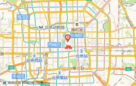
静态地图 最后更新时间: 2024年06月28日
产品介绍
静态地图服务通过返回一张地图图片响应 HTTP 请求,使用户能够将高德地图以图片形式嵌入自己的网页中。用户可以指定请求的地图位置、图片大小、以及在地图上添加覆盖物,如标签、标注、折线、多边形。
静态地图在使用的过程中,需要遵守高德开放平台 《自定义地图服务协议》。
使用限制
服务调用量的限制请点击 这里 查阅。
使用说明
为了正常调用 Web 服务 API ,请先注册成为高德开放平台开发者,并申请 Web 服务的 key ,点击具体操作。
功能介绍

服务示例
https://restapi.amap.com/v3/staticmap?location=116.481485,39.990464&zoom=10&size=750*300&markers=mid,,A:116.481485,39.990464&key=<用户的key>请求参数及用法
服务地址
请求参数
注:如果有标注/标签/折线等覆盖物,则中心点(location)和地图级别(zoom)可选填。当请求中无 location 值时,地图区域以包含请求中所有的标注/标签/折线的几何中心为中心点;如请求中无 zoom,地图区域以包含请求中所有的标注/标签/折线为准,系统计算出 zoom 值。
markers
格式:
markers=markersStyle1:location1;location2..|markersStyle2:location3;location4..|markersStyleN:locationN;locationM.. location 为经纬度信息,经纬度之间使用","分隔,不同的点使用";"分隔。 markersStyle 可以使用系统提供的样式,也可以使用自定义图片。
系统 marersStyle:label,font ,bold, fontSize,fontColor,background。
markers 示例
- 默认 markers:
https://restapi.amap.com/v3/staticmap?markers=mid,0xFF0000,A:116.37359,39.92437;116.47359,39.92437&key=您的key- 自定义 markers 示例
自定义markersStyle: -1,url,0。
-1表示为自定义图片,URL 为图片的网址。自定义图片只支持 PNG 格式。
https://restapi.amap.com/v3/staticmap?markers=-1,https://a.amap.com/jsapi_demos/static/demo-center/icons/poi-marker-default.png,0:116.37359,39.92437&key=您的keylabels
格式:
labels=labelsStyle1:location1;location2..|labelsStyle2:location3;location4..|labelsStyleN:locationN;locationM.. location 为经纬度信息,经纬度之间使用","分隔,不同的点使用";"分隔。
labelsStyle:label, font, bold, fontSize, fontColor, background。 各参数使用","分隔,如有默认值则可为空。
labels 示例:
https://restapi.amap.com/v3/staticmap?location=116.48482,39.94858&zoom=10&size=400*400&labels=朝阳公园,2,0,16,0xFFFFFF,0x008000:116.48482,39.94858&key=您的keypaths
格式:
paths=pathsStyle1:location1;location2..|pathsStyle2:location3;location4..|pathsStyleN:locationN;locationM.. location 为经纬度,经纬度之间使用","分隔,不同的点使用";"分隔。
pathsStyle:weight, color, transparency, fillcolor, fillTransparency。
paths 示例:
https://restapi.amap.com/v3/staticmap?zoom=15&size=500*500&paths=10,0x0000ff,1,,:116.31604,39.96491;116.320816,39.966606;116.321785,39.966827;116.32361,39.966957&key=您的key

